
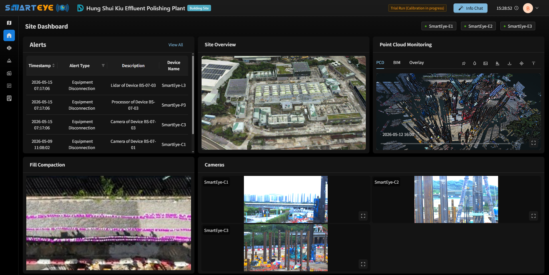
SmartEye is the Development Bureau (DEVB) of the Hong Kong SAR Government’s in-house Co-supervision Platform (CSP) for smart construction management. It incorporates technologies including 4D LiDAR, 5G fusion bonding, and Generative AI / LLM, and features “Video of Point Cloud” for spatial data. The platform is designed for joint use by Works Departments, Consultants and Contractors, supporting digital co-supervision for “early detection, early follow-up and early resolution” of on-site issues, while helping users identify and prioritise areas for detailed site inspection.
The SmartEye management dashboard, AI analytics and related application- layer services are provided under separate Government arrangements and are not part of Ambit’s supply scope.
Ref.: DEVB TC(W) No. 1/2026.
Patent belongs to DEVB

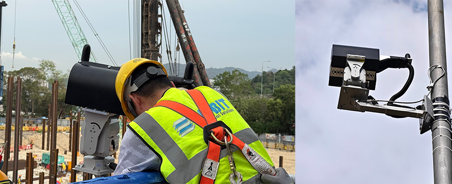
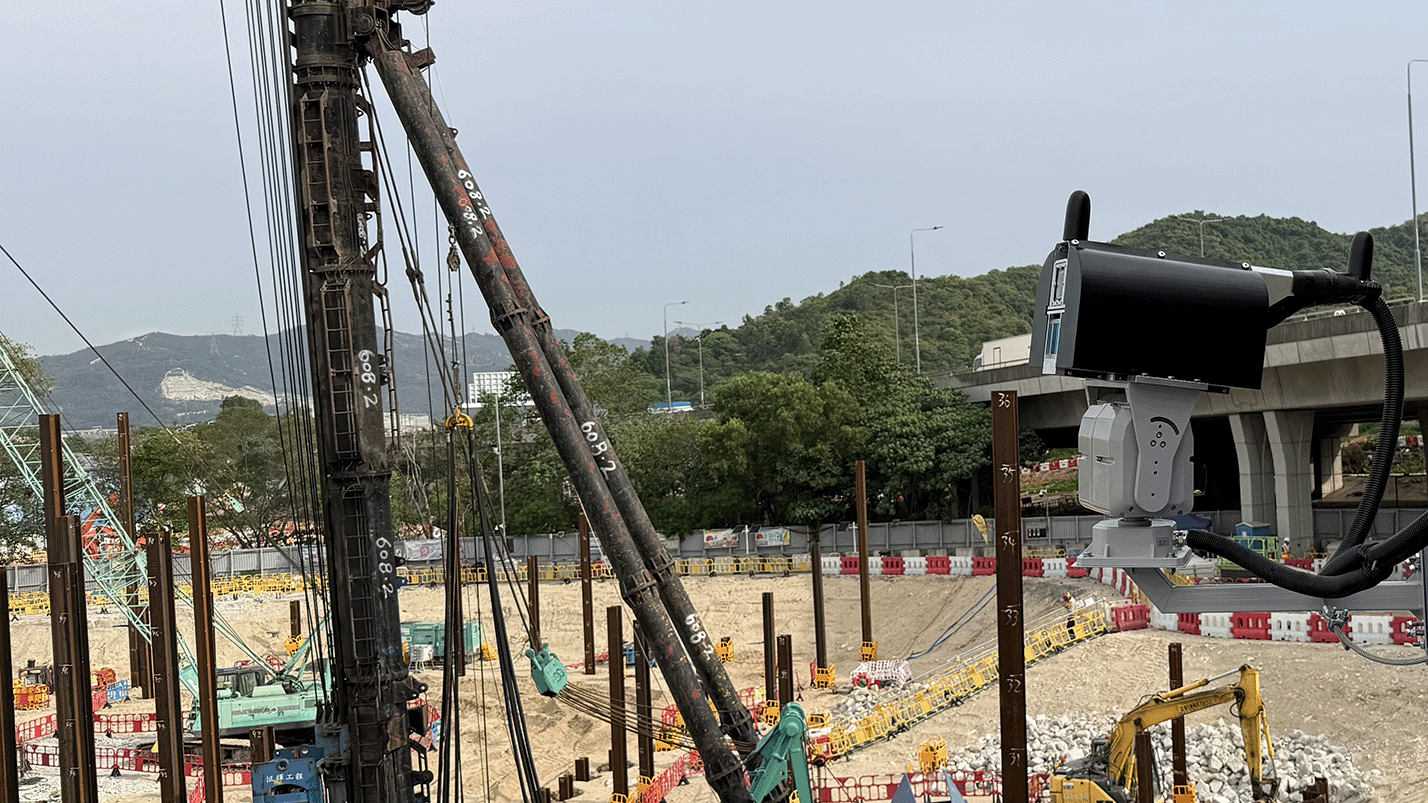
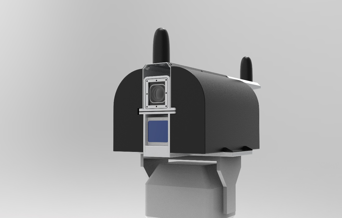
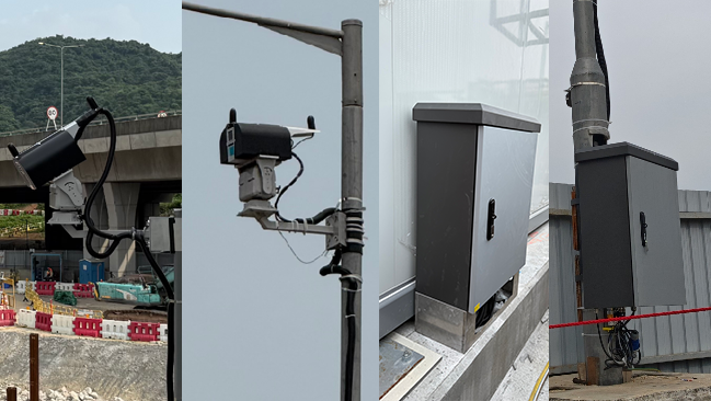
Ambit supplies the Fixed-Point 4D LiDAR field equipment under the fixed-point approach described in DEVB’s SmartEye Specifications, providing hardware, scheduled capture workflows, on-site edge processing, and LiDAR datasets for integration with the SmartEye.
Fixed-Point LiDAR System (4D LiDAR) scans the construction site and converts the point cloud data into colorized and georeferenced spatial data. Through computer processing and high-speed 5G fusion bonding technology, the on-site conditions can be turned into a full, stereoscopic view without delay, and presented on an AI-enabled management platform.
✓ Scheduled data capture
✓ Generate colorized point-cloud
✓ Point-Cloud Geo-referencing (HK1980)
✓ Live camera streaming
✓ Tamper & disconnect monitoring
✓ Integration with DEVB's SmartEye Dashboard
✓ 240 kpts/s aggregate point rate
✓ Microsecond-class hardware sync
✓ RTK GNSS positioning
✓ LiDAR–camera calibration
✓ ~350° observation coverage
✓ ~450 m-class ranging
✓ Pole / wall / surface mounting
✓ Multi-SIM 5G cellular
✓ Bandwidth bonding (project-configured)
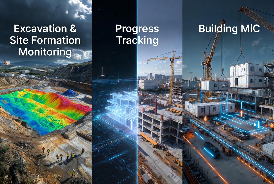
• MiC modular construction process tracking
• Earthwork excavation and slope stability monitoring
• Rapid surveying/mapping for roads and large construction sites
• Integration with project-specified site analytics on the SmartEye platform (where configured by the project).
Ambit Geospatial Solution and third parties collect personal information as specified in the privacy policy and use cookies or similar technologies for technical purposes and, with your consent, for experience, measurement and marketing (personalized ads) as specified in the cookie policy.
You can freely give, deny, or withdraw your consent at any time by accessing the preferences panel. Denying consent may make related features unavailable.
Use the “Accept” button to consent. Use the “Reject” button to continue without accepting.